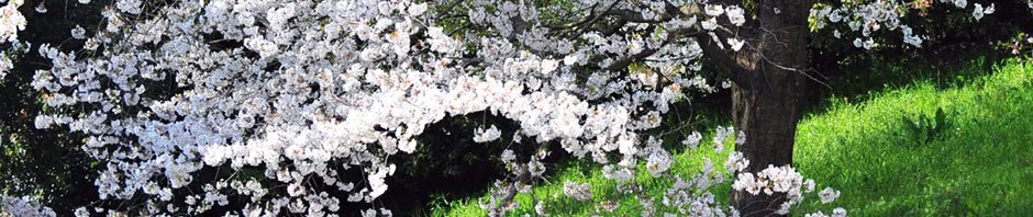
Arnold’s Campground and RV Park, International Falls, MN. I woke up to a thunder storm. I had a paper that said that the one visitor center had a lake cruise at 10:00, so I got ready to get there in time to go. The rain stopped long enough that I was able to load the car and start driving without getting too wet (using a rain poncho). But as soon as I started driving, it began to rain hard, that hard that I needed to have the windshield wipers on high and that was almost not enough. When I got to Kabetogama Lake visitor center, the rain had let us and then stopped. I asked if the cruise was still on, but there were waiting for the captain. They ranger wanted to check me in. That was when I discovered that the cruise was booked full and book full for the next two weeks. Even the other cruise at the other visitor center with a larger boat was also book full for that length of time. So, I got my stamp and watched their movie hoping that one of the people for the cruise would not show up because of the weather. No such luck. They had a canoe trip about a half an hour later with ‘voyageurs’ leading the trip. Because of the wind, they did not go out on the water, but the reenactors went through the show as if they were getting a crew ready to go out. I stayed long enough for the show until they went down to the canoe. Since I had canoed the Boundary Waters for a week as a scout leader, I did not need those instructions. Then I went to the Ash River visitor center. I got their stamp (same movie) and a trail map for Blind Ash Bay trail there (the first center did not have a good trail there). I hiked 3.09 miles in a little over 2 hours. It was a nice trail, most of the time fairly level, but it did have a 222 ft change in elevation. There was a nice overlook at the far end of the trail. Then I drove back to International Falls and the Rainy Lake visitor center for their stamp. They also had a short trail there. The Oberholtzer Trail was interesting. Beside the trail map I received, they had metal maps at each intersection or bench, so I really did not need the map. That was a 1.82-mile hike in just under an hour. The lookout at the far end was just a grassy field or maybe an overgrown pond, but the trail was fairly level. Finally, I went back to International Falls to see the falls. I had been told that it no longer exist since they dammed the river for the two paper mills (one on each side of the river). But I could not find the dam either. I went back to the RV and rested. Those two hikes had worn me out.
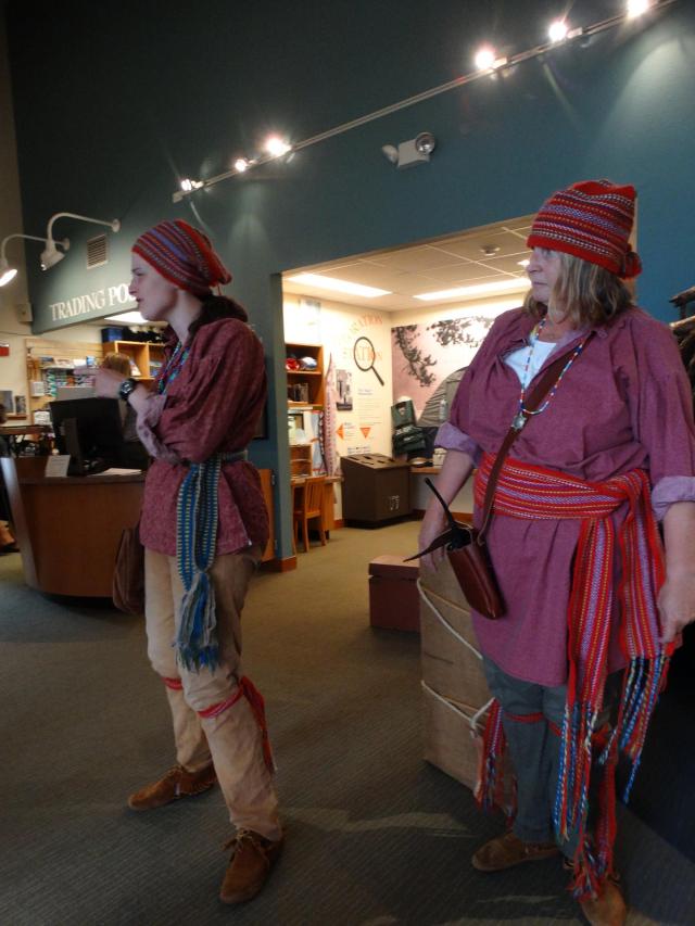
Two rangers dressed like French Voyageurs. Funny, I thought the voyageurs were all male. These two were not.

Blueberries along the side of the trail. I was surprised that something had not eaten them already.
